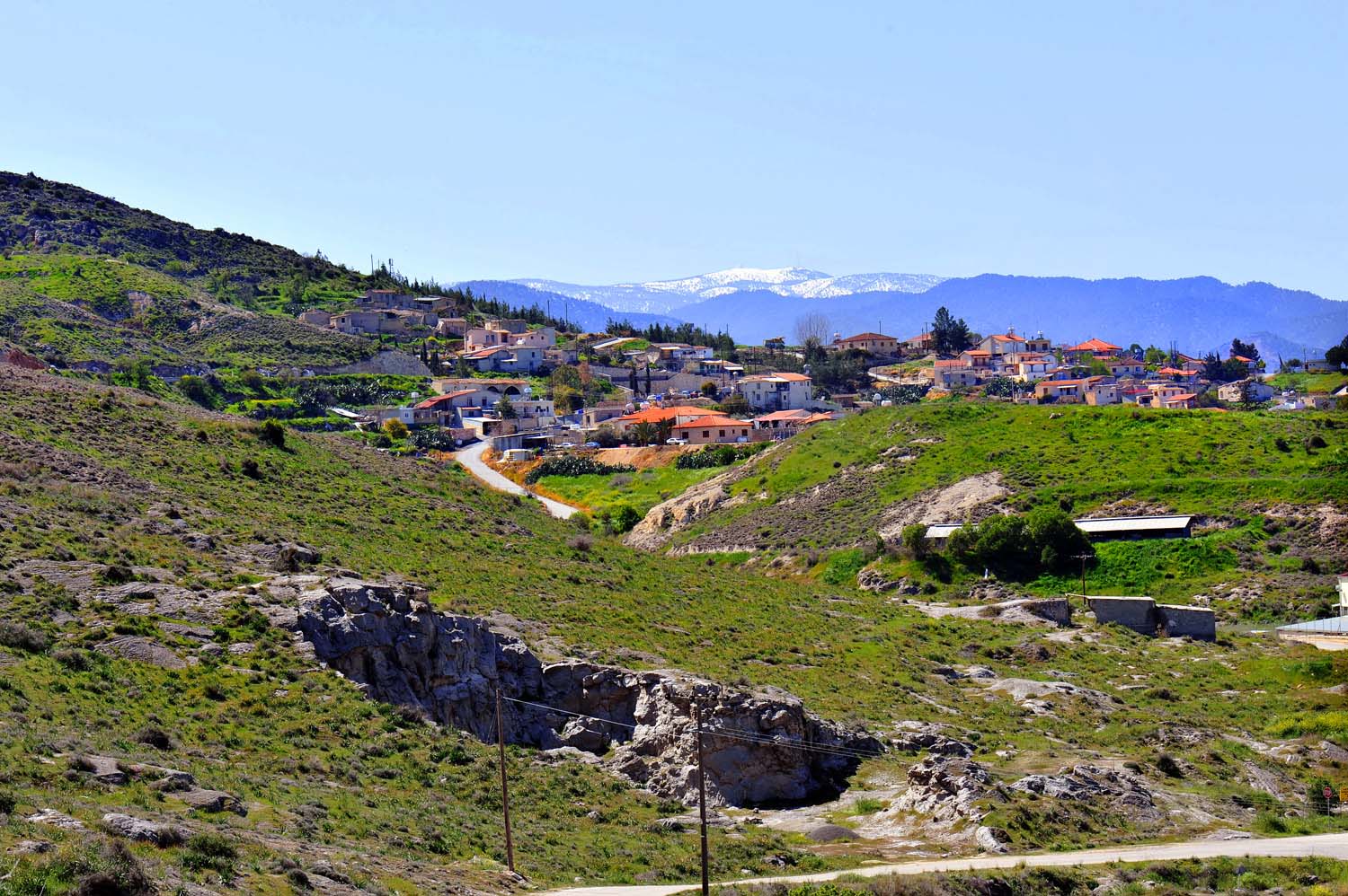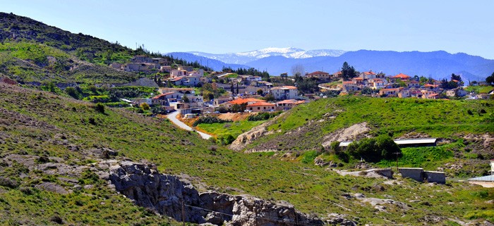
Kato Moni is a small, picturesque village in the Nicosia district.
It is situated at the foot of the Koroni Mountain and to the right of the Serrachis River, at a distance of about 40 kilometres from Nicosia.
The community is built at an average altitude of 400 meters, receiving an average annual rainfall of about 360 millimetres; olive-trees, cereals, vines, and legumes are cultivated in the region.
Kato Moni is connected via road to the village of Orounta in the north (2 km), to the uninhabited, Turkish-Cypriot village of Agioi Iliofotoi in the south-east (1,5 km), and to the village of Agia Marina Xyliatou in the south-west 93 km).
The population of Kato Moni had a continuous, steady increase until 1976. The following index is quite informative.
| Date | Population |
| 1881 | 68 |
| 1901 | 113 |
| 1911 | 139 |
| 1931 | 196 |
| 1946 | 235 |
| 1960 | 253 |
| 1976 | 366 |
| 1982 | 313 |
| 2001 | 311 |
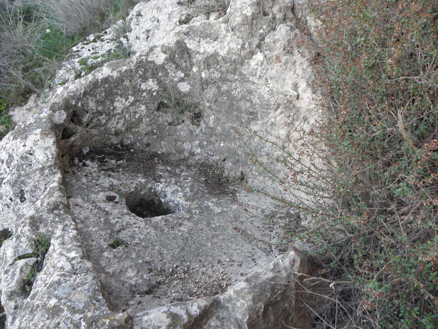
The village is located close to a venue with minerals and for this reason its general region was inhabited since ancient times, at least since the Middle or Latter Bronze era. There are indications that a settlement of the Neolithic period existed in the same region.
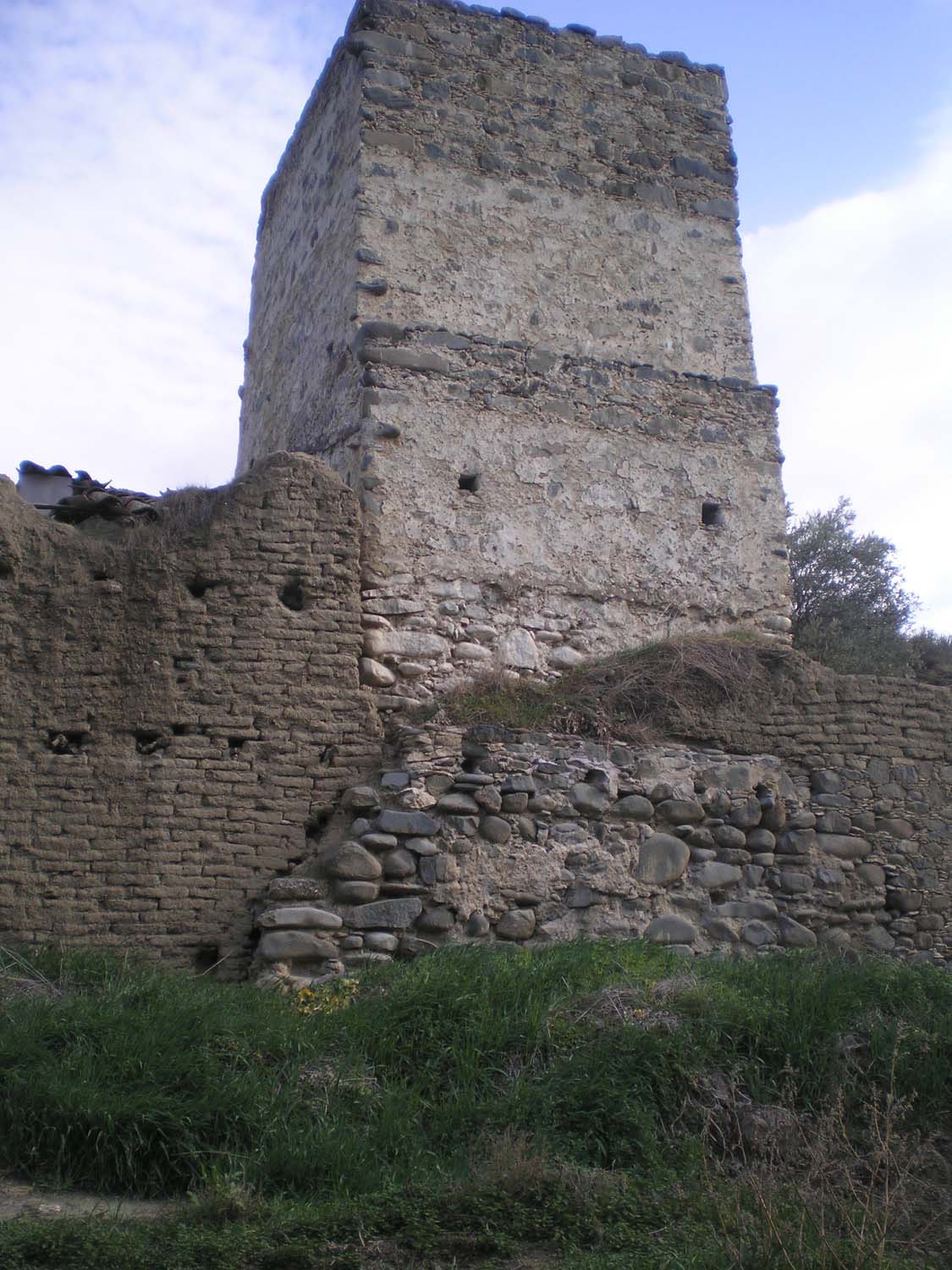
During the Frank Domination era, Kato Moni existed under the same name it has today. It is found marked in old maps under the name “Catomeri”. Also, it is mentioned that the village “Catomoni” was a feud, originally belonging to the Knights Templars but -after their order got dissolved -falling in the hands of the Order of St. John of Jerusalem (Hospitallers).
Originally the village was an uninhabited place. Large ranges of land belong mainly to the inhabitants of the villages of the Pitsilia region as well as of the villages Fterikoudi, Platanistasa, Alona, and others.
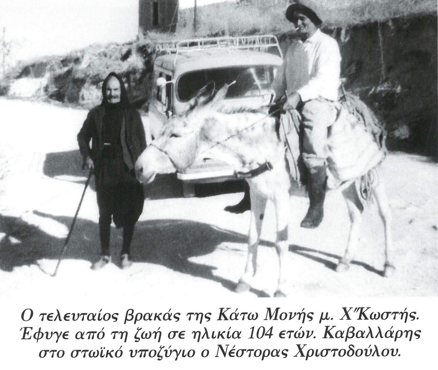
The inhabitants of these villages went to the region in order to take care of their crops. However, because they needed some time to finish their businesses, they themselves made some small houses in which they lodged until they finished their farming operations. When they were to come to today’s village, where there was a “moni” (an area where they kept their livestock), they would say “let’s go to the Kato (Lower) Moni”; in Fterikoudi there was the other “moni” and that one they called “Pano Moni” (Upper Moni).
And so the village got the name of Kato Moni.
According to Nearchos Clerides, the name of the village reveals that in previous times there was a monastery there and a second one stood at a higher-level region. For that reason, one became known as Kato Moni, so that there would be a distinction from the second one, the “Pano Moni” that was not salvaged.
However, there is no necessity for the existence of two monasteries in the region. It is probable that some monastery kept a dependency in the village’s region and for that reason it became known as “Kato Moni”.
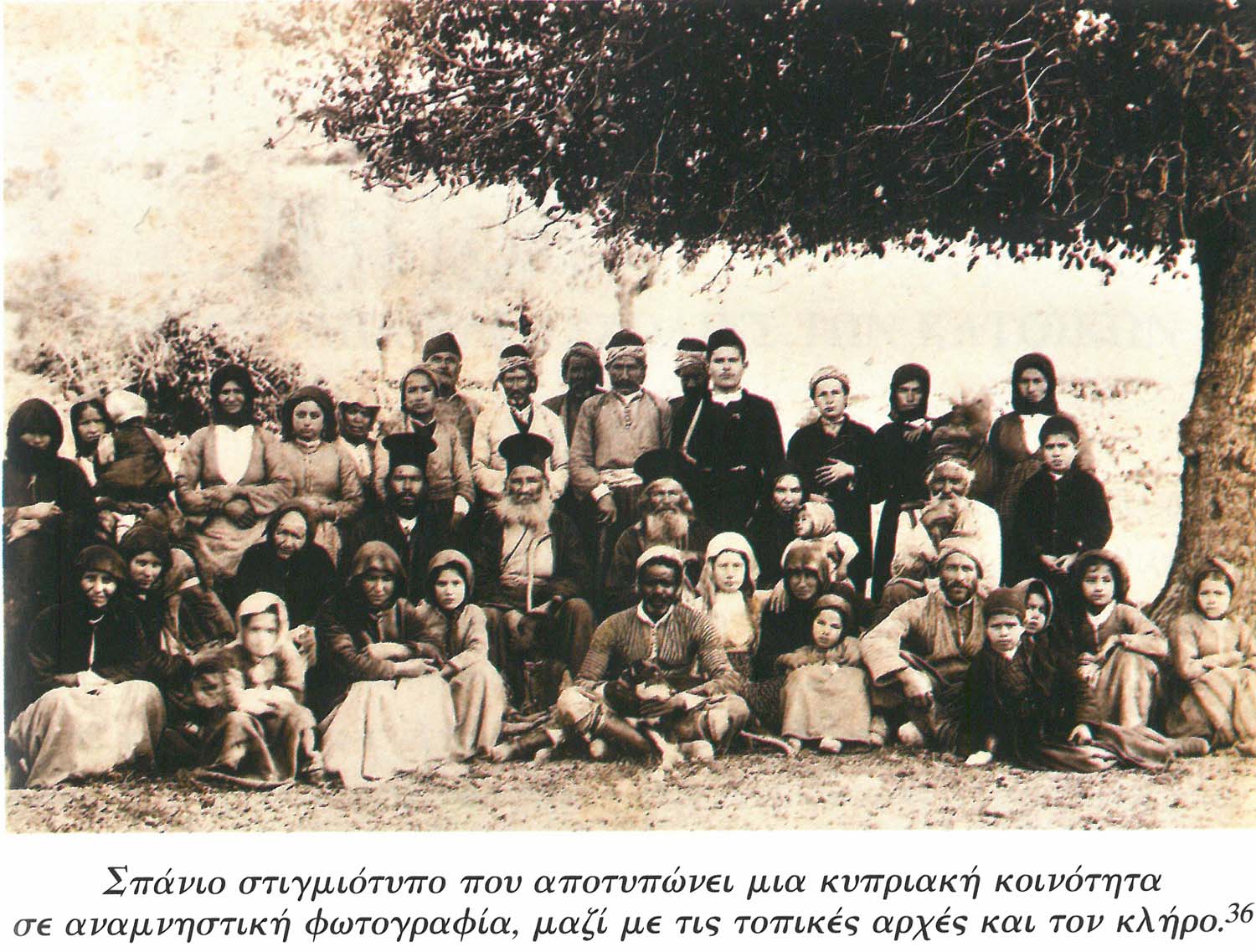
There was a church in the village, that of “Agia Paraskevi”, which was ruined and then reconstructed. Also, there is the church of the Saviour’s Transfiguration, located in the village’s centre. In previous times, the village’s elementary school and also the community’s cemetery were located in the church’s yard. In 1952 another elementary school was constructed at the village’s entrance. Then a more recent school was raised next to the old one. 23 students attend the school today.
Also, in the area of the Agioi Iliofotoi village there is the chapel of Agioi Iliofotoi, which administratively belongs to Kato Moni as well as the entire region.